
Portsmouth Block Records for Neighbors
A public block search starts with land, not a list of people. Portsmouth’s parcel and address layers can show which lots touch an address and how the street segment is laid out. The assessor adds a property card; land records add conveyance parties; permits and old directories can add dated context. Each source has a narrower purpose. Together they help distinguish an adjoining parcel from a public owner field, a historical occupant clue, or a civic contact chosen for publication.
| Source | What It Shows About a Block | Access |
|---|---|---|
| GIS parcel layer | Adjoining parcels, boundaries, addresses, street geometry, and selected public attributes. | Public interactive map; popup fields need visual checking. |
| Assessor | Assessment, classification, sales history, and any field displayed for a parcel. | Public address or map search, not an owner-name list. |
| Virginia SRA | Recorded conveyances and parties for a parcel. | Public index with remote-account or clerk-office access. |
| POPS | Address-linked permit and inspection activity. | Public property-address or permit search. |
| Voter access channels | Individual registration service or lawful list access, not a block roster. | Portal and statutory request rules. |
| Library directories | Historical street occupants or businesses for one year. | Digitized collection, library, and microfilm. |
One parcel card cannot establish everyone connected with an address. An assessed owner may not be at the situs address, and a historic directory line is only evidence for its publication year. Preserve the source date and decide whether the question concerns a lot boundary, recorded title, local history, or a published community contact.
Map Portsmouth Block Records From One Address
Use an exact property address or map/parcel number to enter the city map. The Portsmouth GIS viewer is paired with public ArcGIS address and street layers. The city’s public services page also routes to maps, parcels, address points, and downloadable datasets. The fetched research does not confirm every live GIS control, so treat popup contents and any selection tool as a visual-check item rather than promising a feature that may not appear.
Start by identifying the target parcel polygon. Then work outward only through parcels that touch it or fall along the same street segment. Cross streets, alleys, water, and similar physical breaks define the usable block better than an arbitrary radius. If a GIS buffer is available, describe the result as a radius selection, not as the legal or social boundary of a Portsmouth block.
Use the Portsmouth public services and GIS routing to reach the city’s public map resources.
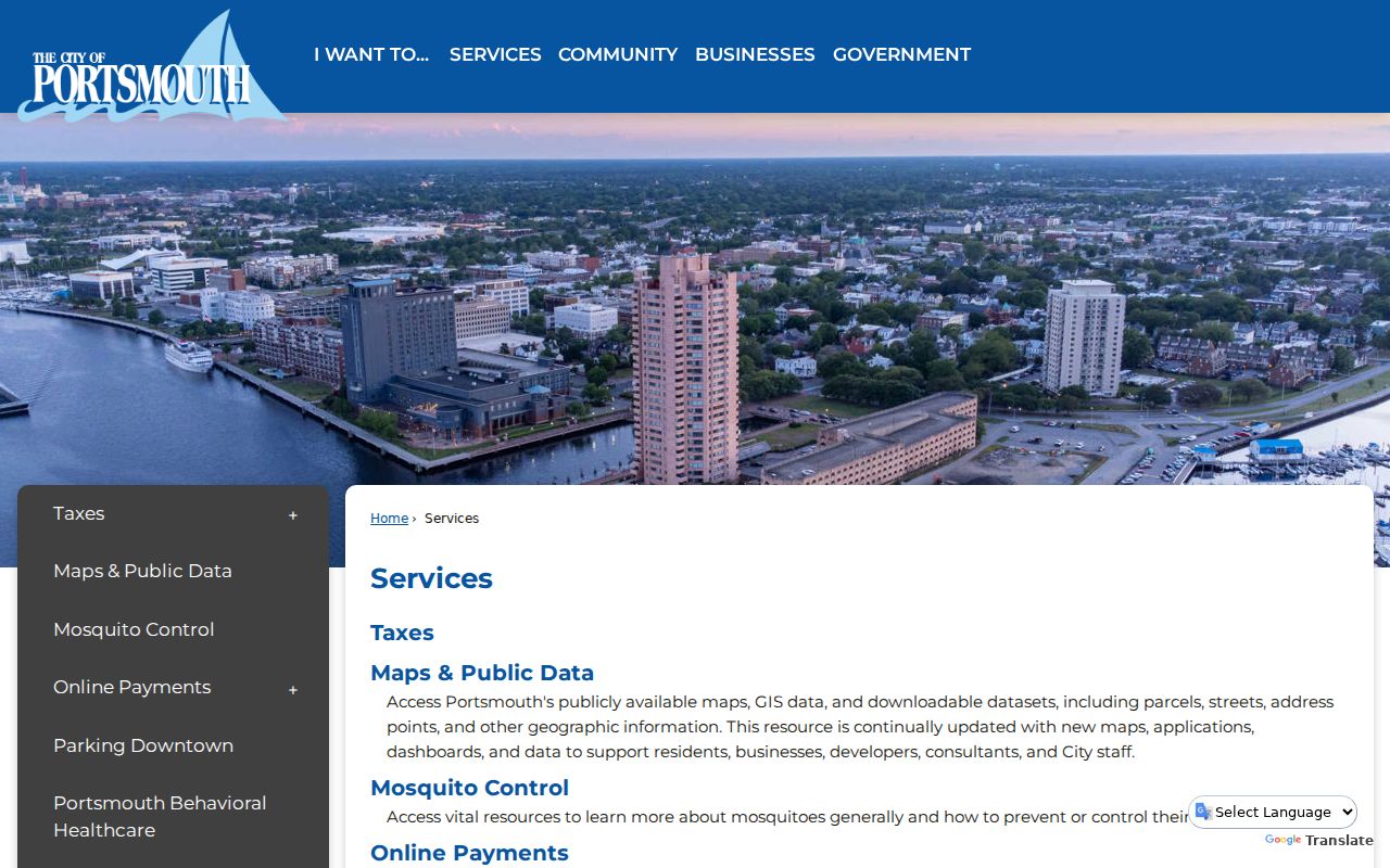
The city services screen points toward the map, parcel, street, and address-point layer of a block search. It does not supply a roster for a block.
- Search the address or parcel and record the displayed map/parcel, situs address, and public popup fields.
- Click each parcel directly adjoining the target polygon, noting a cross street, alley, or water boundary that ends the block.
- Open the assessor result for each parcel and keep its assessment information separate from any mailing or ownership field.
- Use the SRA index only for the parcels that need a recorded-conveyance check, then return to the map for the next adjoining lot.
For a whole named street rather than the immediate block, use the Portsmouth Street Directory workflow. It follows the longer address chain without turning every nearby parcel into a broad neighbor search.
Read Portsmouth Parcel Records Carefully
The Portsmouth Real Estate Assessment Data and Tax Map Search begins with the address or parcel. Street Number and Street Name are separate fields, and the page says not to include “St,” “Pkwy,” or similar suffixes in the Street Name entry. It also offers recent-sales and neighborhood modes, an eight-character map-and-parcel route, and a four-character map route. No owner-name field was exposed on the public search page observed for the research.
A sample parcel card showed a property address, ZIP+4, map/parcel, classification, sales-history area, assessment history, GIS link, and tax-map link. The text capture did not verify a full title chain, an occupant roll, or an owner or mailing field. That limitation matters: a property card is strong evidence of the city’s parcel identity and assessment data, not proof that a particular person lives at the address.
- Situs address
- The physical location of the parcel.
- Mailing address
- The place used for correspondence or tax notices. It may be outside the parcel or city.
- Map/parcel
- The assessor and GIS key used to connect the address to a mapped property.
- Legal description
- The deed’s land description, which may name a lot, block, subdivision, or boundary course.
Note: The assessor’s displayed tax-map data changes and is not a survey or legal boundary representation.
Define Portsmouth Block Records
Parcel geometry gives the most direct block edge, while the street layer helps show where a segment starts and ends. The public ArcGIS street metadata exposes street-name and prefix fields, and the address layer exposes address attributes. An address point tells where an address is placed in the city data; it does not identify every person connected with the property. Use it with the parcel polygon and street line instead of treating it as a household marker.
Portsmouth’s geography makes boundaries especially important. The city is an independent city bounded by water and adjoining Norfolk, Chesapeake, and Suffolk. The Census BAS map for FIPS 51740 is the official city-line reference. It can orient a parcel near a locality edge, but a municipal boundary, a historic district, and a civic-league area are not interchangeable.
That is why “nearby” should be recorded as a mapped relationship: directly adjoining, on the same segment between cross streets, or within a labeled radius when the live map actually provides that option. Precision keeps a Portsmouth block lookup from becoming a guess about unrelated addresses.
Portsmouth Neighbors and Recorded Activity
Recorded land documents can add the transfer history that an assessor card lacks. The Virginia SRA land-record portal is the official remote entry point, and the Portsmouth SRA introduction reports deeds and land-record indexes from 1858 to current. Search a relevant parcel’s recorded parties, date, document type, book/page or instrument reference, and legal description. The clerk controls current remote terms, image availability, and certified-copy access.
Use the legal description to confirm that a deed belongs to the mapped parcel. A conveyance names parties to a transaction, not a complete list of people using the address. The Portsmouth Circuit Court Clerk and SRA therefore provide title history for a focused parcel check, while the parcel map remains the tool for deciding which properties belong to the block.
Portsmouth Online Permit System, known as POPS, allows public permit searches by permit number or permit address and parcel searches by parcel number or property address. Building, mechanical, electrical, plumbing, status, and inspection information may be visible. A permit can date work or identify an applicant or contractor, but it is not evidence of every household connection to the property.
Portsmouth Records in Historic Directories
A current parcel map can be paired with historical lines when the goal is to understand an older block. The Sargeant Memorial Collection digitizes Portsmouth and Norfolk city directories with alphabetical, reverse-street, business, and civic-government sections. Use the reverse street line to find an address in a particular edition, then confirm the surname in the alphabetical section. Publication year and page matter because the cataloged run has gaps.
The November 1893 Portsmouth Sanborn map set has 18 sheets that can place a historical street line among period building footprints and uses. It is useful for distinguishing a block context from a name result. Olde Towne and Downtown preserve early urban fabric; Park View’s reported 1894 annexation and the roughly 1918-1920 development of Cradock and Truxtun are dated context for choosing a directory or map era, not proof of a civic boundary.
Portsmouth Civic Records and Contacts
The city’s public community and business directory offers a community layer that property records do not. Its search exposes Category, Name, an A-Z filter, and Search. Located listings give public contacts or meeting patterns for four civic leagues. They are not membership rosters, and the entries should be checked again before relying on a meeting detail or contact.
| Lake Shores Civic League | Public contact: Monica Sparks-Williams; quarterly virtual meetings reported. |
|---|---|
| Lee Ward Civic League/North Brighton | Public contact: Preston Vaughan; third-Monday meeting pattern reported. |
| Long Point Civic League | Public contact: Sandra Barkley; quarterly meetings at St. Mark’s reported. |
| Loxley Place Civic League | Public contact: Sue Adkins; third-Thursday meetings at Victory Boulevard Baptist reported. |
Check the Portsmouth community and business directory for the current public listing. Olde Towne, Park View, Port Norfolk, Cradock, and Truxtun are historic-district names in city material, but those districts do not establish civic-league membership or coverage.
Portsmouth Neighbor Lookup Limits
Virginia’s Citizen Portal supports an individual registration-status workflow, polling-place and district information, absentee functions, and voting-history information. It is not a public block roll. Under Va. Code §§24.2-444 and 24.2-405, voter-list access and copies are restricted to listed statutory recipients and purposes, protected physical addresses receive special treatment, and internet publication or searchable republication of a voter list is prohibited.
Use the Portsmouth voter-registration routing page for local election contact information.
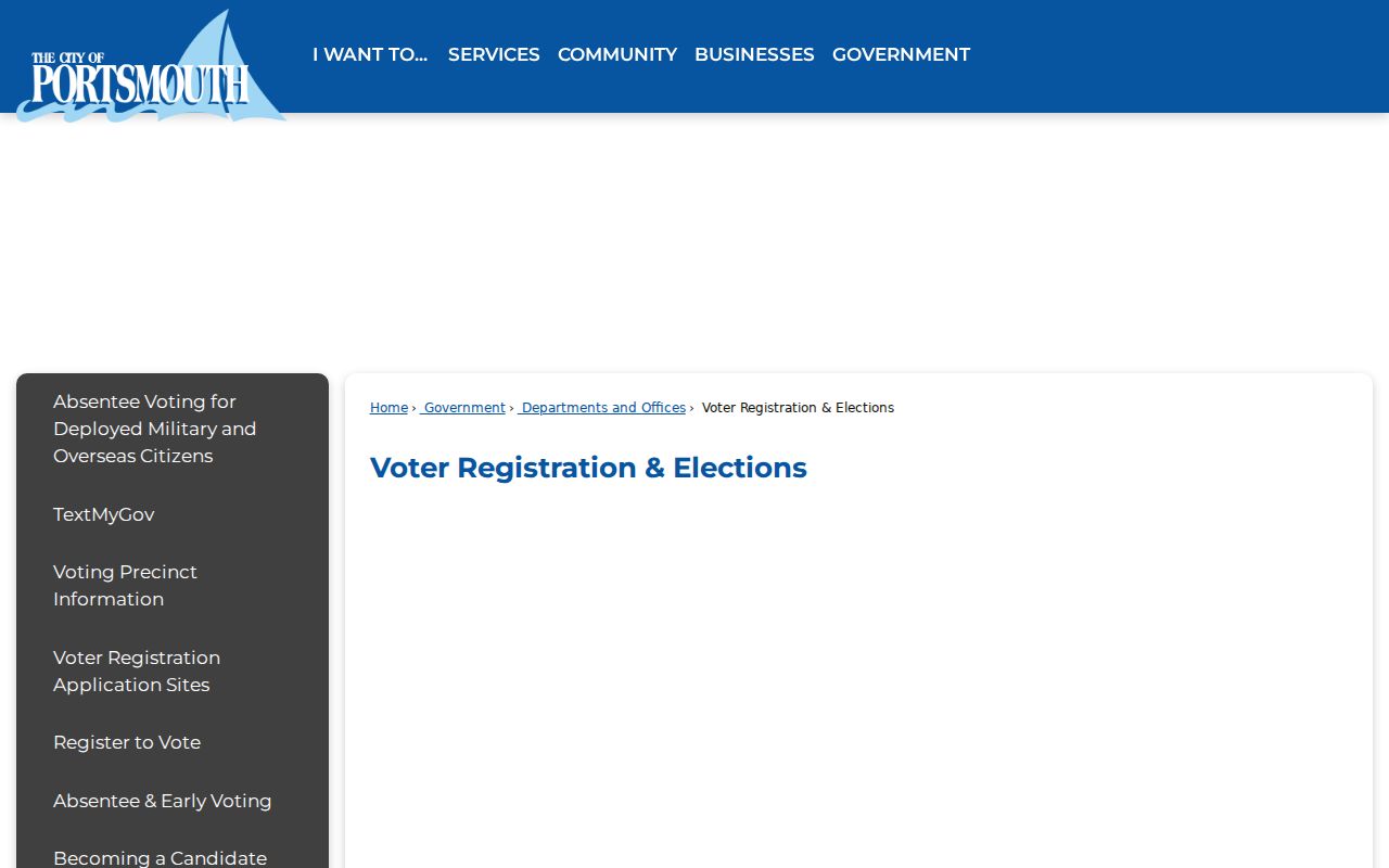
The local elections page directs an individual toward public election services. It does not authorize publication of a searchable roster for a Portsmouth block.
| Official record path | Commercial neighbor-tool category | Practical limit |
|---|---|---|
| Parcel, assessor, SRA, city directory, and lawful election channels keep the original custodian and a date. | Compiled profiles may combine public and purchased data with varied update practices. | Compare an address claim with the governing record; neither category establishes every person at a property. |
| City and state procedures identify access limits and a correction contact. | Removal and correction procedures vary by provider. | Protected information and private household data remain outside a lawful block search. |
For an existing city record that is not otherwise available, Portsmouth’s JustFOIA portal is a narrow-record fallback. Virginia FOIA covers existing non-exempt material and does not require the city to create a block list or disclose protected personal information. The ordinary response framework is in Va. Code §2.2-3704, with the city able to produce, withhold with a citation, report no record, or use a permitted extension.
Lawful use. Use Portsmouth block research for civic context, historical research, or a focused property question. Do not use parcel, civic, or election information to track, threaten, or harass anyone.